



Stormy Weekend Ahead for Seattle Area: Heavy Rain and Strong Winds Expected November 14–15
Short Description: A powerful Pacific weather system is expected to bring widespread rain and strong winds to the Seattle area this weekend. The heaviest rainfall and strongest gusts are forecast from Saturday night into early Sunday.
· All Seattle News Desk
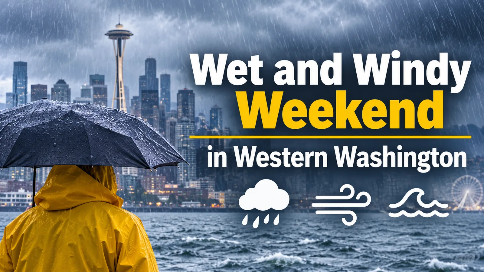
Western Washington is heading into a wet and potentially windy weekend as a series of Pacific weather systems moves across the region on November 14 and 15. Forecasters expect periods of rain throughout the weekend, with conditions becoming more unsettled Saturday night and into early Sunday.
According to the National Weather Service (NWS) in Seattle, Saturday, November 14, will bring mostly cloudy skies and occasional showers to the Puget Sound lowlands. Seattle is forecast to reach a high of around 57°F (14°C), while temperatures in nearby communities will generally remain in the mid-to-upper 50s.
The weather is expected to deteriorate later in the day as a stronger Pacific frontal system approaches. The most significant impacts are forecast overnight, when heavier rain and stronger winds are expected across western Washington.
Sunday Could Bring the Heaviest Rain
Rain is expected to continue on Sunday, November 15. Seattle's forecast high is around 55°F (13°C), with temperatures falling into the upper 40s overnight.
The NWS estimates that western Washington's interior lowlands could receive approximately 0.5 to 1 inch of additional rainfall through the weekend. Coastal areas may see 1 to 3 inches, with locally higher totals possible on south-facing slopes of the Olympic Mountains.
Meteorologists say winds could reach 30 to 40 mph in parts of the region during the peak of the system, particularly Saturday night into early Sunday. Stronger gusts are possible along the coast and near the Strait of Juan de Fuca, where conditions could be significantly more severe.
Coastal Areas Face Dangerous Conditions
The Washington coast is expected to experience large waves, strong winds and periods of heavy rain. The National Weather Service has warned of hazardous surf conditions, while marine conditions are expected to remain rough through the weekend.
People visiting beaches are advised to stay well back from the water and avoid exposed rocks, jetties and other areas vulnerable to powerful waves. Sudden large waves can sweep away beachgoers, even when the ocean appears relatively calm.
Flooding Concerns in Parts of Western Washington
Additional rainfall over the Olympic Mountains is raising concerns about rising water levels along the Skokomish River. A Flood Watch remains in effect for parts of the region through late Saturday night.
Although widespread river flooding is not currently expected across all western Washington waterways, residents in flood-prone areas should monitor official alerts. Heavy rain can also create localized street flooding, particularly where storm drains are blocked by fallen leaves.
What Residents Should Expect
For people in Seattle, Bellevue, Everett, Tacoma and surrounding communities, the weekend forecast points to mild temperatures but persistent wet weather. Saturday may offer some breaks between showers, while Sunday is expected to remain rainy and unsettled.
Drivers should allow extra travel time, watch for standing water and be cautious on wet roads. Anyone planning outdoor activities, coastal visits or travel through mountain and river-valley areas should check updated forecasts and road conditions before leaving.
Forecasters expect showers to continue into Monday before a gradual shift toward cooler and drier weather later next week.
Residents can follow the latest watches, warnings and forecast updates through the National Weather Service Seattle/Tacoma office.